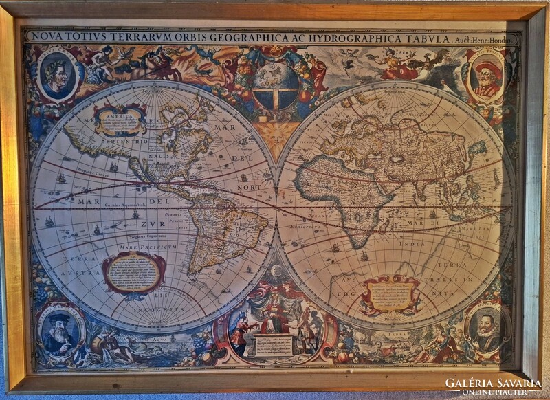
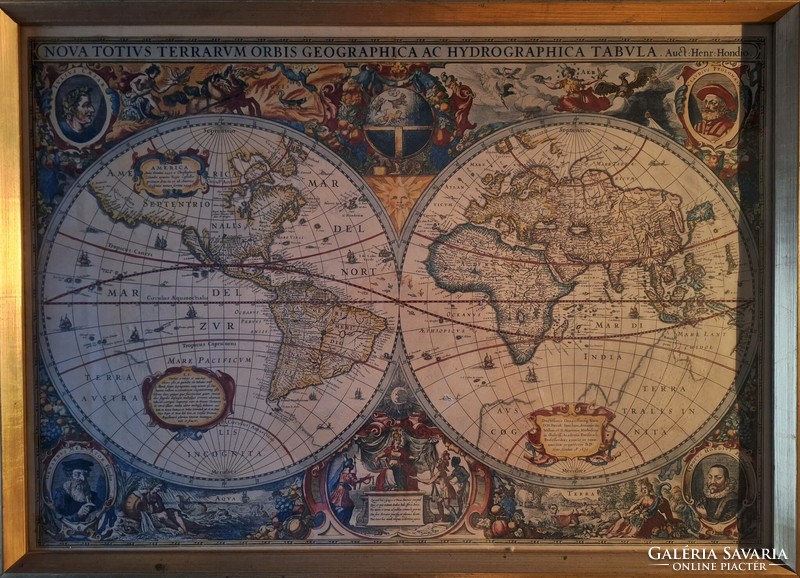
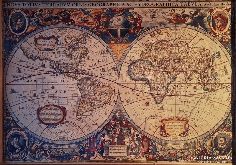
Canvas print from a medieval copperplate. A new geographic and hydrographic map of the entire world. Nándor Szilvásy
Item details
| Listed: December 01, 2023 |
| Item code: 5440483 |
| Views: 243 |
| Watchers: 1 |
| Offers: 0 offers |
Seller
sziget53 (8)
![]() BUDAPEST
BUDAPEST
Positive feedback: 100%
Last login: May 17, 2024
Member since: January 20, 2015
Why do buyers choose Galeria Savaria?
Learn more about the actions to make our online marketplace more secure and convenient. Details
Learn more about the actions to make our online marketplace more secure and convenient. Details
| Subject: | other theme |
| Painting surface: | canvas |
| Style: | realism |
| Age: | unknown |
| Signature: | unsigned |
| Condition: | flawless |
| Originality: | early reproduction |
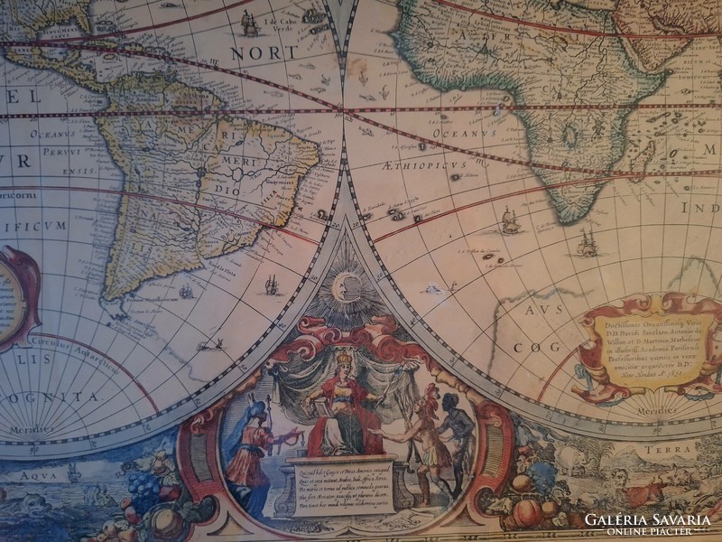
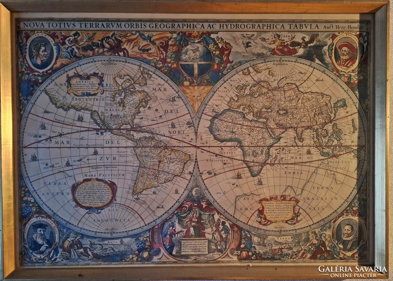
Szilvásy Nándor grafikus és festőművész gyűjteményéből származik ez a középkori rézmetszetű térképről készült nyomat, bekeretezve, tökéletes állapotban. A térkép címe: Nova totius terrarum orbis geographica ac hydrographica tabula, azaz Az egész világ új földrajzi és vízrajzi térképe. A sarkokban történelmi személyiségek képei, és latin nyelvű leírások. Oktatásra, művészeti alkotásra, szobaberendezésnek-dísznek is kíváló.
Guarantee conditions
| Guarantee: 14 days |
Payment options
| Wire transfer in advance |
| Cash |
Shipping options
|
Shipping from: Hungary Processing time: 3-5 workdays |
|
| Local pickup | Budapest XI. |
Shipping abroad
Seller doesn't ship this item to your destination.
If you have any questions, ask the seller.
Others searched for these
retro gumi baba
kórusz rézkarc
inox
porcelán virágtartó
zsolnay mesés
borbás tibor
madonna medál
fehér antik
favorit
potpourri
hűtőtáska
paraszt tálaló
budakeszi
veréb
borostyán szipka
gépkönyv
zsolnay kutyás
chesterfield forgószék
ültető
malachit bonbonier
magyar posta
gyertya koppantó
balatonberény
50 forint 2018
rosenthal björn
