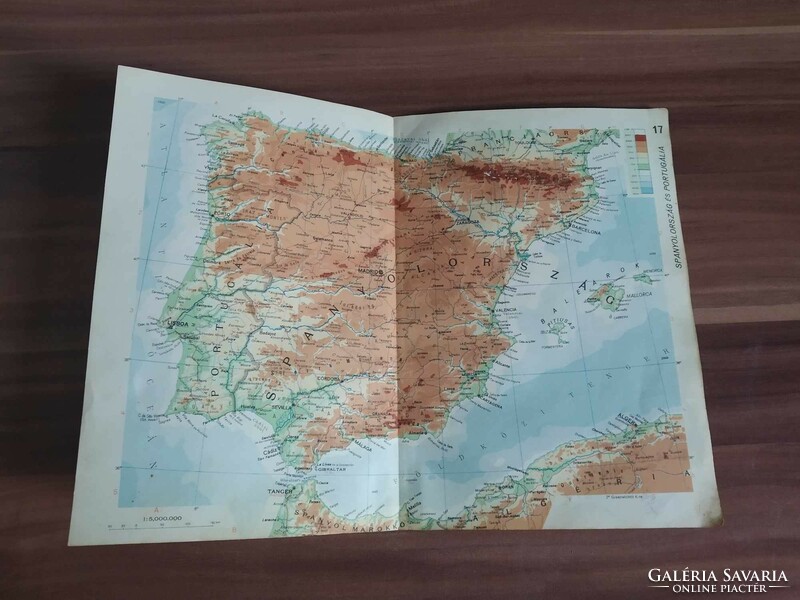
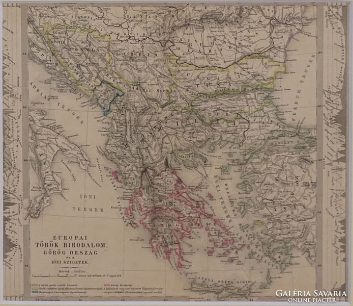
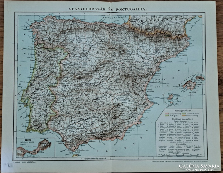
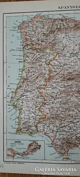
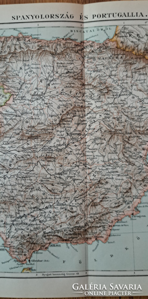
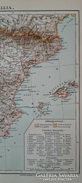
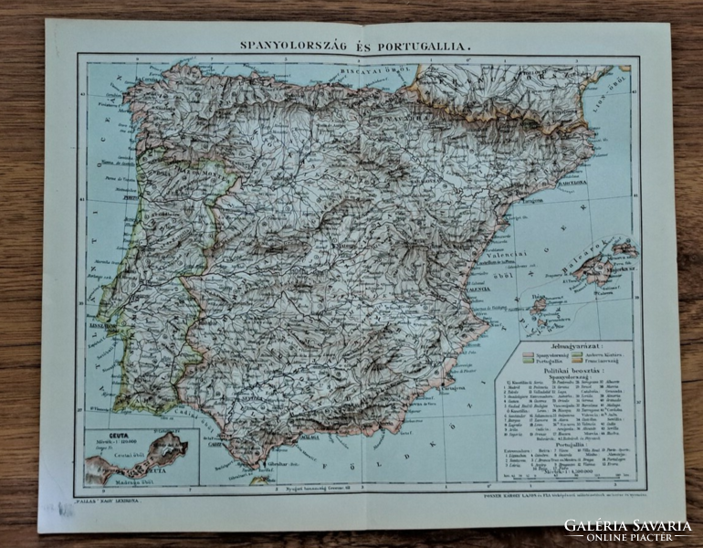
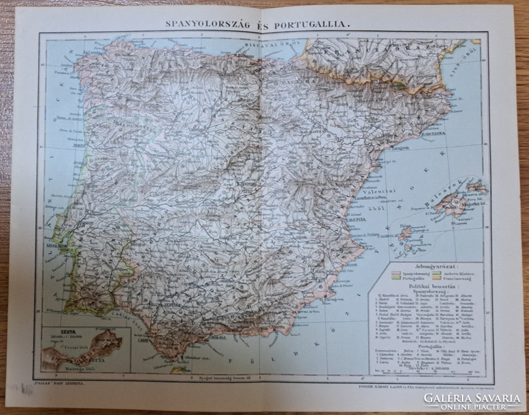
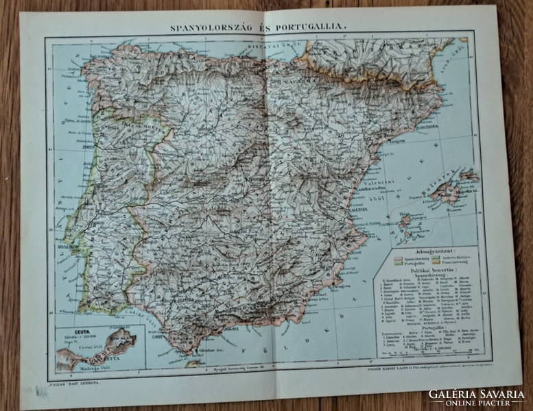
"Map of Spain and Portugal" cca 1900 is an appendix to the Pallas encyclopedia map
Would you like to see for how much it was sold?
To see the selling price, log in or sign up.
Interested in the price of other items? Go to Archive Catalog.
Interested in the price of other items? Go to Archive Catalog.
| Sold on: | Apr. 27, 2024 19:15 |
Item details
| Listed: December 22, 2023 |
| Item code: 5493336 |
| Views: 154 |
| Watchers: 0 |
Seller
Tomek61 (1787)
![]() Heves county
Heves county
Positive feedback: 100%
Last login: Today, 00:08
Member since: January 29, 2018
Why do buyers choose Galeria Savaria?
Learn more about the actions to make our online marketplace more secure and convenient. Details
Learn more about the actions to make our online marketplace more secure and convenient. Details
| Condition: | good for its age |
| Age: | -1900 |
"Spanyolország és Portugália térképe" cca 1900
A Pallas Nagylexikon térkép melléklete, eredeti nyomat középen hajtott
Posner Károly Lajos és fia metszése és nyomása
Lap mérete: 23,8 x 29,8 cm

