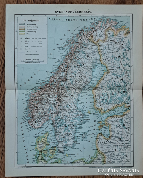
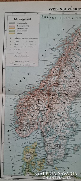
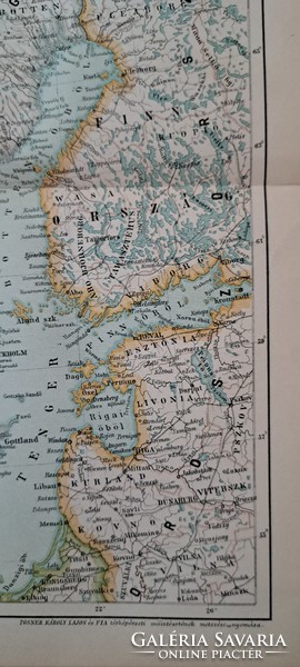
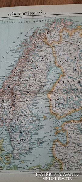
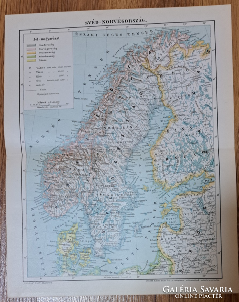
"Map of Sweden-Norway" cca 1900 is a map appendix of the Pallas encyclopedia
Item details
| Listed: December 22, 2023 |
| Item code: 5493339 |
| Views: 125 |
| Watchers: 0 |
Seller
Tomek61 (1808)
![]() Heves county
Heves county
Positive feedback: 100%
Last login: Yesterday, 23:55
Member since: January 29, 2018
Why do buyers choose Galeria Savaria?
Learn more about the actions to make our online marketplace more secure and convenient. Details
Learn more about the actions to make our online marketplace more secure and convenient. Details
| Condition: | good for its age |
| Age: | -1900 |
"Svéd-Norvégország térképe" cca 1900
A Pallas Nagylexikon térkép melléklete, eredeti nyomat középen hajtott
Posner Károly Lajos és fia metszése és nyomása
Lap mérete: 23,8 x 29,8 cm
If you have any questions, ask the seller.
